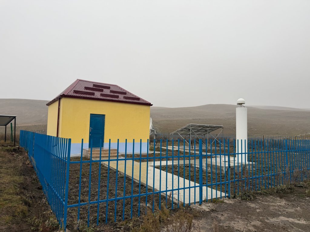
Shaghik, above Lake Arpi
Ashotsk plateau · Amasia municipality · Shirak province
- Coordinates41.047° N, 43.583° E
- NetworkCHARNET · seismic and GNSS
- NearbyLake Arpi, 2,025 m
The first story in our series about the places where we listen to the Earth
Our stations stand in very different places: on mountain slopes, in forests, on high plateaus and next to villages. With this post we begin a series about them: where each station is, what the landscape around it looks like and what is worth knowing nearby. We start in the far north-west of Armenia, with the station above the village of Shaghik.
A landscape that changes every minute
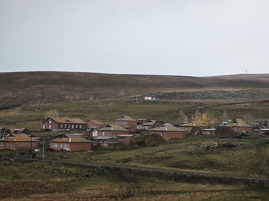
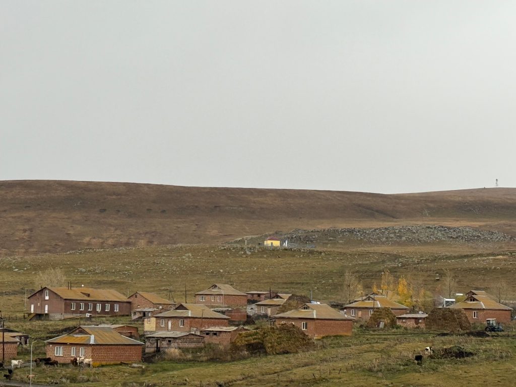
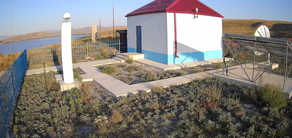
Shaghik is a small village on the high, windswept Ashotsk plateau in the north of Shirak. Fog rolls in and lifts, clouds race over the hills, and the light on the slopes changes almost by the minute. The station stands on the hill above the village: from the houses below, its yellow building with a red roof is clearly visible against the brown slopes and the stone fields.
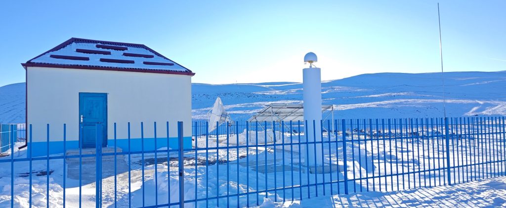
Shaghik in winter
Lake Arpi next door
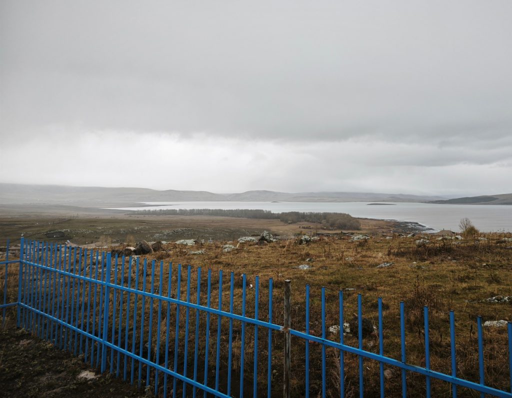
From the station fence there is a wide view of Lake Arpi. It lies at about 2,025 metres above sea level and covers about 20 km². The lake was formed by a volcano-tectonic earthquake; in 1946–1950 a dam was built on the Akhurian River, and today the lake is also a reservoir. The Akhurian River begins here.
Lake Arpi is a wetland of international importance under the Ramsar Convention since 1993, and in 2009 a national park was created around it. More than 140 bird species have been recorded here, and the lake holds the world’s largest colony of the Armenian gull.
Neighbours of the station
Shaghik is not as lonely as it looks. In winter, when deep snow covers the hill, the station camera now and then catches its neighbours: a fox crossing the yard in the afternoon sun, or a hare slipping along the fence at dusk.
What the station does
Shaghik is a complex station of the CHARNET network. Its seismometers record earthquakes in Armenia and far beyond, and the GNSS antenna measures, to fractions of a centimetre, how the ground itself slowly moves. Solar panels and a satellite dish let it work here, far from the city.
Its position in the north-west makes it especially valuable for the north-western border areas of Armenia. On 1 November 2026 Shaghik was the closest of our stations to the earthquake on the Armenia–Georgia border, only about 35 km away, and was the first to record it. This month it also recorded the M 5.2 earthquake in Tajikistan, more than 2,500 km away.
Lake Arpi facts: Ramsar Sites Information Service (site 621); Wikipedia. Photographs: IGES.