Antarashat, the village of forests
Kapan municipality · Syunik province
- Coordinates39.298° N, 46.348° E
- NetworkCHARNET · seismic and GNSS
- NearbyKapan, about 20 km
Our station in the mountains of Syunik
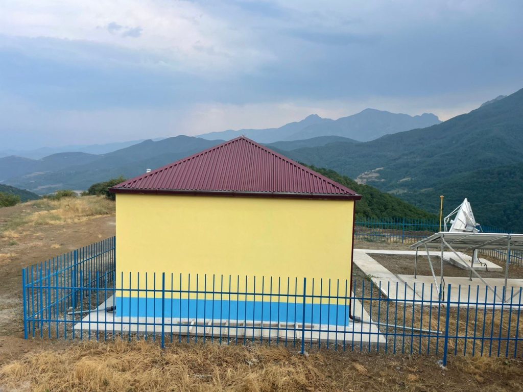
The fourth station in our series takes us to the far south of Armenia, to Syunik. It stands on a slope above the small village of Antarashat, about 20 km from Kapan. Around it rise rocky ridges and steep cliffs, in winter the peaks are white with snow, and the valleys below are full of forest.
Khustup on the horizon
From the station there is a view of Mount Khustup, one of the most beautiful mountains of Syunik. It rises to about 3,200 metres south of Kapan, and on its slopes rests the Armenian national hero Garegin Nzhdeh.
A village with “lots of forest”
The name Antarashat means “lots of forest” in Armenian, and it fits: the village is surrounded by wooded mountains. In the past it was known as Tortni or Torini. Today it is a quiet mountain village of about 160 people, with the 17th-century church of Saint Hripsime. Nearby rises Tapasar mountain, and a short walk leads to a waterfall.
Cliffs and wild asters
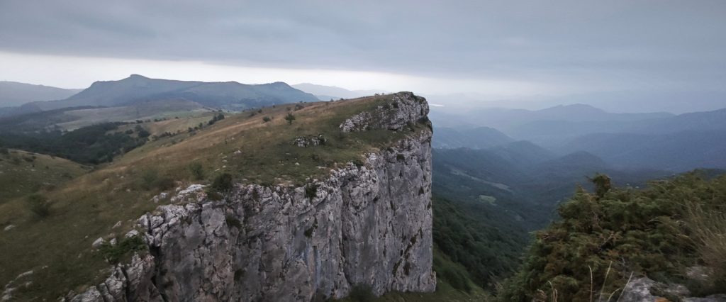
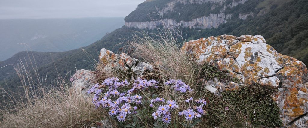
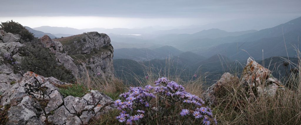
Above the forests, the mountains end in sheer walls of pale rock. At the end of summer the edges of the cliffs are covered with wild asters, growing among stones painted orange and yellow by lichens, while below the wooded ridges fade into the haze one after another.
The station
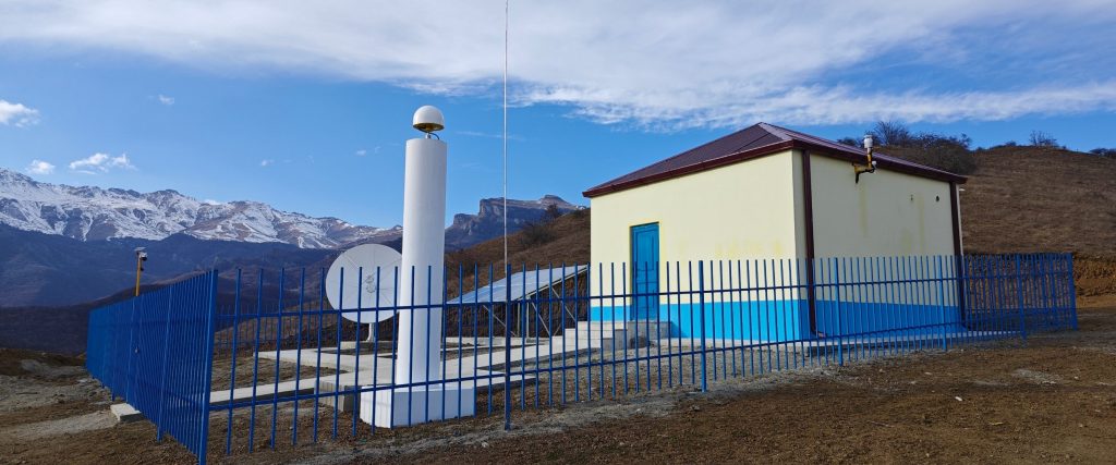
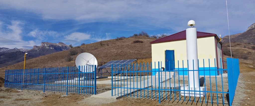
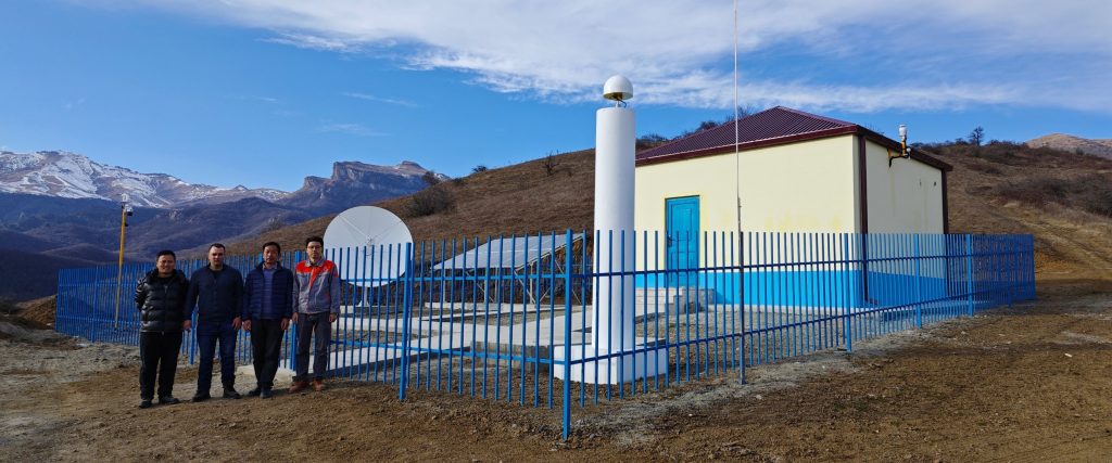
Antarashat is a complex station of the CHARNET network: seismometers in the instrument building, a GNSS antenna on a white pillar, solar panels and a satellite dish. It is our station in the south-east of Armenia and watches the mountains of Syunik. In November it recorded the M 5.2 earthquake in Tajikistan, more than 2,000 km away: in that story you can see and listen to its record on all three components.
Village and Khustup facts: Wikipedia; Absolute Armenia. Photographs: IGES.