
Between Vanadzor and Spitak
Lori province, Armenia · about 12 km south-west of Vanadzor
- Date12 November 2026
- Time12:34 local · 08:34:26 UTC
- MagnitudeML 2.2 · Mw 3.0
- Depthabout 11 km
Located by the CHARNET network, IGES · 9 stations
On 12 November at 12:34 local time a small earthquake of magnitude ML 2.2 (Mw 3.0) occurred in Lori province, between Vanadzor and Spitak. The epicentre lies at 40.74° N, 44.38° E, about 12 km south-west of Vanadzor and 14 km south-east of Spitak, at a depth of about 11 km.
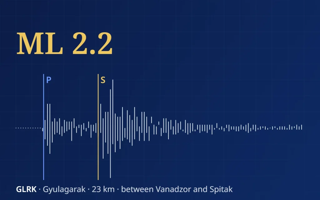
Nine stations of the CHARNET network recorded it, from Gyulagarak, 23 km away, to Antarashat, 232 km away. The farther the station, the longer the gap between the P- and S-waves: 3 seconds at Gyulagarak and almost 28 seconds at Antarashat.
The epicentre (star) between Vanadzor and Spitak and the nine CHARNET stations that recorded the earthquake. Hover over a station for its distance and S–P time.
between the P- and S-waves
Below are the north–south records of nine stations, from the nearest to the farthest. Press play to watch the waves arrive, or listen to the earthquake as Gyulagarak recorded it, sped up five times.
North–south component, 1–15 Hz, 96 seconds of record (08:34:29–08:36:05 UTC), shown 4× faster. Blue — the P-wave, gold — the S-wave. The farther the station, the later the waves arrive and the wider the gap between them. Sound: Gyulagarak station, north–south component, the whole record sped up 5 times. Location and magnitude: IGES, CHARNET network, 9 stations.
The area between Vanadzor and Spitak lies in the Pambak–Sevan fault zone, one of the main active faults of Armenia. CHARNET stations watch it day and night.