Byurakan, on the slope of Aragats
Aragatsotn province, Armenia · about 5 km from our Byurakan station
- Date10 November 2026
- Time21:57 local · 17:57:55 UTC
- MagnitudeML 0.9
- Depthabout 16 km
Located by the CHARNET network, IGES
On the evening of 10 November, at 21:57 local time, a very small earthquake occurred under the southern slope of Mount Aragats, near the village of Byurakan. With a magnitude of ML 0.9 nobody could feel it, yet three CHARNET stations recorded it, and the epicentre was located at 40.39° N, 44.28° E, at a depth of about 16 km.
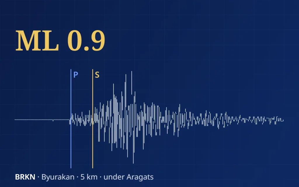
Our Byurakan station stands almost above the source, less than 5 km away. There the S-wave arrived only 2 seconds after the P-wave. At Gyulagarak, 63 km away, the gap was 8 seconds, and at Deghdzavan, 110 km away, 13 seconds.
The epicentre (star) on the slope of Aragats and the three CHARNET stations that recorded the earthquake. Circles show the distance to each station; hover over a station for its S–P time.
between the P- and S-waves
Below is the record of our Byurakan station. Press play to hear the earthquake as Byurakan recorded it, sped up six times.
Vertical component, 1–15 Hz, 46 seconds of record (17:57:53–17:58:39 UTC), shown 2× faster. Blue — the P-wave, gold — the S-wave. Sound sped up 6 times. Location and magnitude: IGES, CHARNET network, 3 stations; the epicentre lies at the edge of the network.
Aragats, the highest mountain of Armenia, is an extinct volcano. Our Byurakan station, next to the famous astrophysical observatory, listens to its southern slope day and night, and even the smallest tremors under the mountain do not pass unnoticed.