Field surveys, calculations and expert assessments for cities, buildings and critical infrastructure.
Request a service- 9 services
- 6 types of objects
- since 1961 in engineering seismology
Seismic studies
Seismic exploration
Seismic surveys in cities, at high-rise building sites and at dams to determine the soil profile, shear-wave velocities and ground amplification.
CitiesHigh-rise buildingsDams and reservoirsConstruction sites
Seismic hazard and risk assessment
Site-specific seismic hazard, seismic microzoning and risk estimates for cities and critical facilities.
CitiesHigh-rise buildingsDams and reservoirsBridges and pipelinesConstruction sites
Technical condition of buildings and structures
Instrumental assessment of the technical condition and dynamic properties of buildings, bridges and dams.
CitiesHigh-rise buildingsDams and reservoirsBridges and pipelines
Synthetic accelerograms
Artificial accelerograms compatible with the design spectrum for the dynamic analysis of structures.
Method: Karapetyan et al., 2025
High-rise buildingsDams and reservoirsBridges and pipelines
Geophysical surveys
Magnetic survey
Mapping of subsurface structures, faults and buried objects from anomalies of the magnetic field.
CitiesConstruction sites
Gravity survey
Density structure of the subsurface, cavities and deep geology from gravity measurements.
CitiesConstruction sites
Electrical survey
Resistivity profiling of soils and rocks, groundwater and seepage beneath dams.
CitiesDams and reservoirsBridges and pipelinesConstruction sites
Hazards and structures
Landslide investigation
Geophysical and seismic surveys of landslide slopes: structure of the sliding mass, depth of the sliding surface, groundwater and monitoring of slope movement.
Slopes and landslidesCitiesDams and reservoirsBridges and pipelinesConstruction sites
Behaviour of bridges
Measurement of natural frequencies, vibrations and response of bridges to traffic and seismic loads, with models for assessing their seismic safety.
Bridges and pipelines
Seismic survey of a building
We find out how an existing building will behave in an earthquake without opening walls or stopping its use. A portable seismometer records the building’s own faint vibrations, and the records show how stiff it is, how it matches the ground beneath it and which parts are weakest.
- 1
Measure
A three-component seismometer records ambient vibrations (microtremors) on every floor and in each section of the building, and on the ground nearby. Each record lasts up to 30 minutes, usually at night when the building is quiet.
- 2
Analyse
Spectral and H/V (Nakamura) analysis gives the natural periods of the building and of the soil, and how strongly each floor amplifies shaking.
- 3
Assess
We check the results against the Armenian seismic code and calculate vulnerability indices for every point, producing a map of weak and strong zones floor by floor.
- 4
Recommend
The client receives a report with the measurements, the vulnerability map and recommendations: where detailed inspection is needed and whether the building needs strengthening.
Schools and universitiesHospitalsResidential buildingsOffices and public buildingsBuildings before reconstruction
Instruments we take to the field
The institute has its own modern geophysical equipment for seismic, gravity, magnetic, electrical, GPR, GNSS and groundwater surveys. Our specialists carry out the measurements and interpret the results.
- 12instruments
- 6survey methods
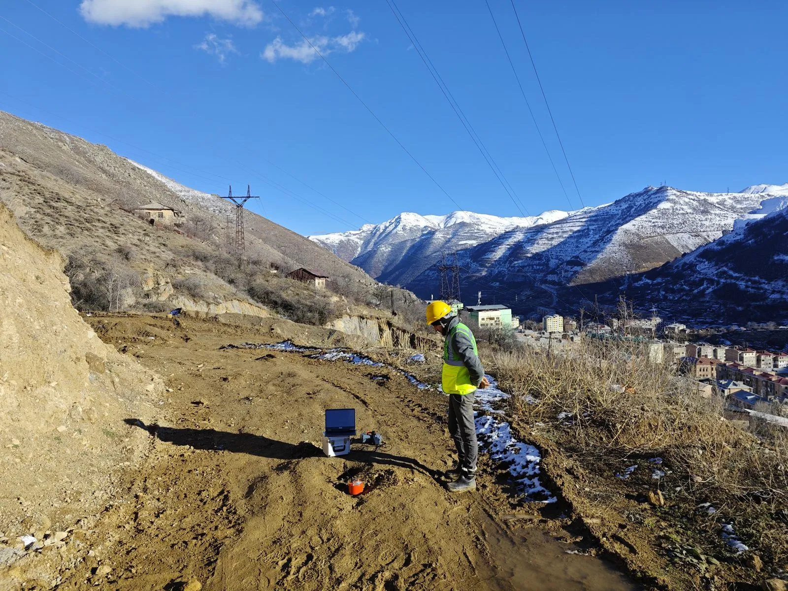
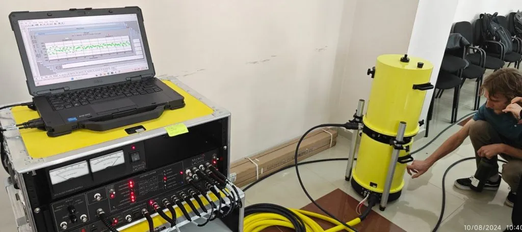
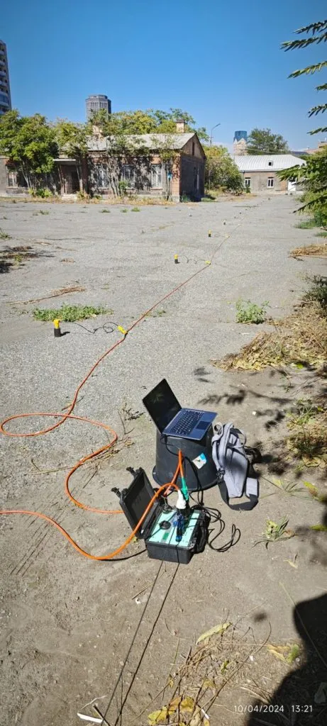
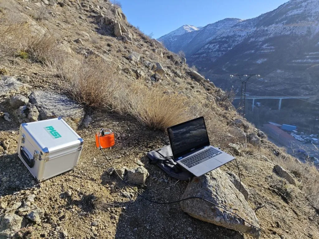
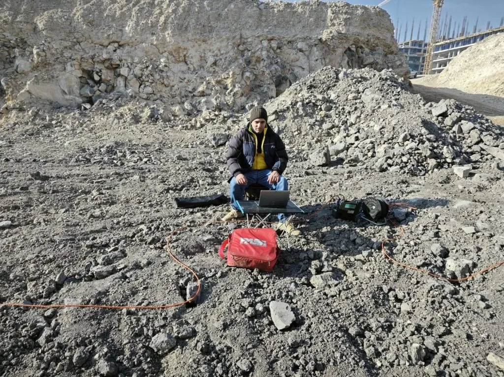
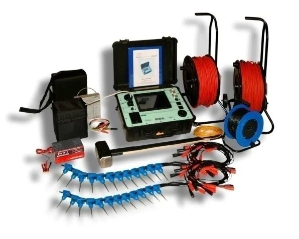
24-channel exploration seismograph
16S24-N
Seismic refraction, reflection and surface-wave (MASW) surveys: soil layers, shear-wave velocities, depth to bedrock.
Seismic explorationMicrozoning
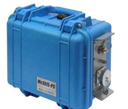
Borehole seismic logging
OYO McSEIS-SW with borehole geophone
Downhole P- and S-wave measurements (PS logging) for exact velocity profiles at building and dam sites.
Construction sitesDams
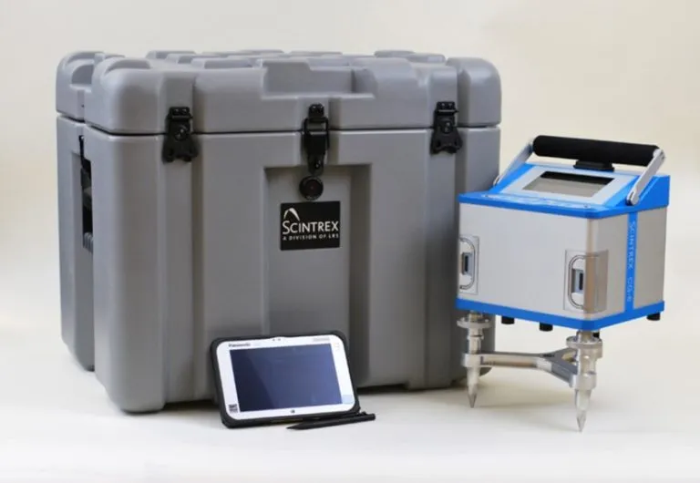
Gravity meter
Scintrex CG-6 Autograv
High-precision relative gravity measurements for density structure, cavities and deep geology.
Gravity survey
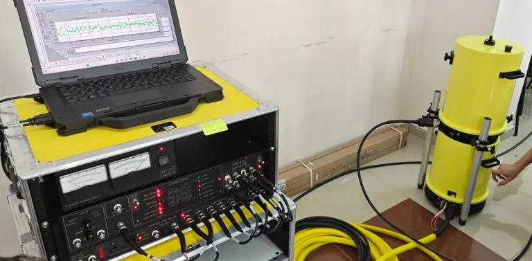
Portable absolute gravimeter
A10 (Scintrex / Micro-g LaCoste)
Absolute gravity measurements directly at outdoor field sites: reference points for gravity networks and monitoring of gravity changes over time.
Gravity surveyMonitoring
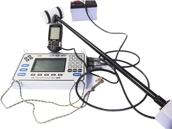
Magnetometer-gradiometer
MMPOS-2
Magnetic field and its gradient for faults, contacts and buried objects.
Magnetic survey
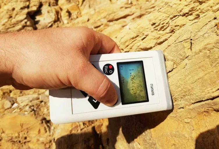
Kappameter
PIMV
Magnetic susceptibility of rocks, outcrops and core samples in the field.
Magnetic surveyGeology
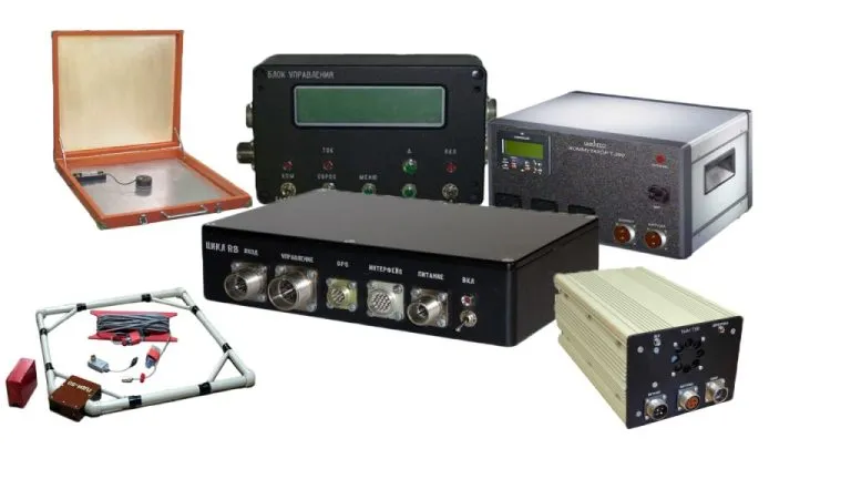
Transient electromagnetic system
Tsikl
TEM soundings: resistivity of the section to large depths, water-bearing and weakened zones.
Electrical surveyLandslides
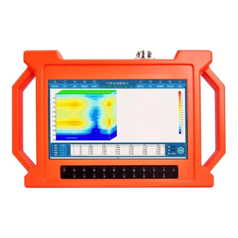
Natural-field electrical detector
PQWT-GT
Fast multi-channel profiling with 2D/3D sections for groundwater search and seepage.
GroundwaterDams
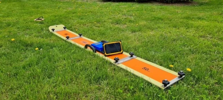
Ground-penetrating radar
OKO-3 with Triton-M antenna
Shallow structure, voids, utilities and the sliding surface of landslides.
Construction sitesLandslides
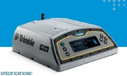
Geodetic GNSS receiver
Trimble with Zephyr antenna
Precise coordinates of survey points and monitoring of ground and slope displacements.
MonitoringLandslides
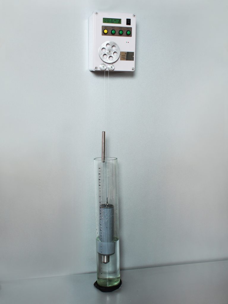
Automatic borehole level logger
Water-level monitoring
Continuous recording of groundwater level in boreholes for long-term hydrogeological monitoring.
GroundwaterMonitoring
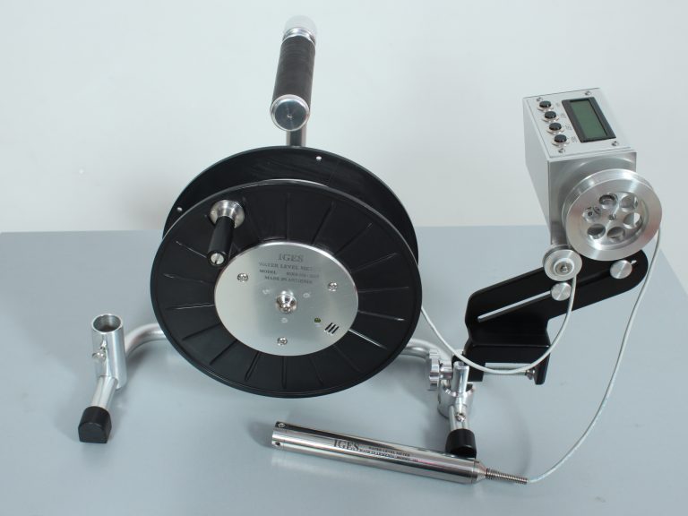
Electric-contact borehole level meter
Water-level measurement
Manual measurement of groundwater level and well depth in boreholes and wells.
GroundwaterDams
Need a survey with this equipment? Tell us about the object and the task.
Request a surveyRequest a service
Describe the object, its location and the task. We will reply with a proposal and timeline.